How to Get To Katvati National Park
How to Get To Katvati National Park , Katavi National Park is the third largest national park in Tanzania, yet it remains one of the least visited protected areas in East Africa. Tucked away in the remote southwest of the country near Lake Tanganyika, Katavi rewards travelers with some of the continent’s largest hippo congregations, thousand-strong buffalo herds and lion prides that command entire floodplains — all without another vehicle in sight. That same remoteness, however, means getting there takes real planning. This guide breaks down every practical way to reach Katavi: by scheduled or chartered flight, and by self-drive 4×4 for travelers who want the adventure of the overland route.
| Quick Answer
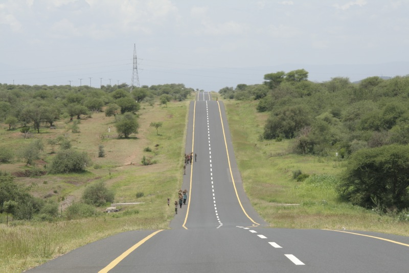
By air: 1–3 hour bush flight from Arusha, Dar es Salaam, Mwanza or Ruaha, landing on Ikuu airstrip near the park. By road: 2–3 day self-drive from Dar es Salaam or Arusha (1,000–1,300+ km) via Mbeya/Sumbawanga or Tabora/Mpanda, on a mix of tarmac and rough gravel. A 4×4 with high clearance, spare fuel and full recovery gear is essential for the road route, especially November–May. |
Katavi at a Glance: Air vs. Road
| Route Option | Typical Duration | Best For |
| Scheduled/charter flight | 1–3 hours from major hubs | Most travelers; time-limited itineraries |
| Self-drive via Mbeya/Sumbawanga | 2–3 days from Dar es Salaam | Overlanders combining Ruaha, Katavi and Lake Tanganyika |
| Self-drive via Tabora/Mpanda | 2 days from Dar es Salaam or Arusha | Overlanders coming from the northern circuit |
| Self-drive via Kigoma | 8–12 hours from Kigoma | Travelers combining Katavi with Mahale/Gombe |
Getting to Katavi National Park by Air
For the vast majority of visitors, flying is the only realistic way to reach Katavi within a normal holiday timeframe. Small bush planes operated by regional carriers such as Safari Air Link, Coastal Aviation and Zantas Air Services connect Katavi to Tanzania’s main safari hubs, landing on the dirt Ikuu airstrip close to the park’s camps.
Main Flight Routes
- From Arusha: roughly 3 hours, usually with a stop at Serengeti or Lake Manyara; scheduled departures are typically limited to Mondays and Thursdays.
- From Dar es Salaam: around 3–4 hours, often via Ruaha National Park on the southern circuit.
- From Mwanza: approximately 2 hours.
- From Ruaha National Park: a shorter connecting hop, popular for travelers combining the southern circuit.
- Onward to Mahale Mountains National Park: most Katavi flights continue on to Mahale, making a combined Katavi–Mahale itinerary of 5–7 nights very popular.
Entry Airports
Your international entry point into Tanzania will almost always be Kilimanjaro International Airport (JRO), about 50 km from Arusha, or Julius Nyerere International Airport (DAR) in Dar es Salaam. From either hub, your safari operator arranges the onward light-aircraft charter into Katavi as part of an all-inclusive fly-in package — self-booking individual domestic legs is possible but rarely cheaper once transfers and timing are factored in.
| Good to Know
Charter flights to Katavi are not cheap — fares from roughly US$350 one-way are typical, before transfers. Because scheduled flights run only a few days a week, your travel dates need to be built around the flight schedule, not the other way around. Luggage on light aircraft is usually limited to 15 kg in soft-sided bags — pack accordingly. |
Getting to Katavi National Park by Road (Self-Drive)
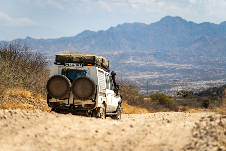
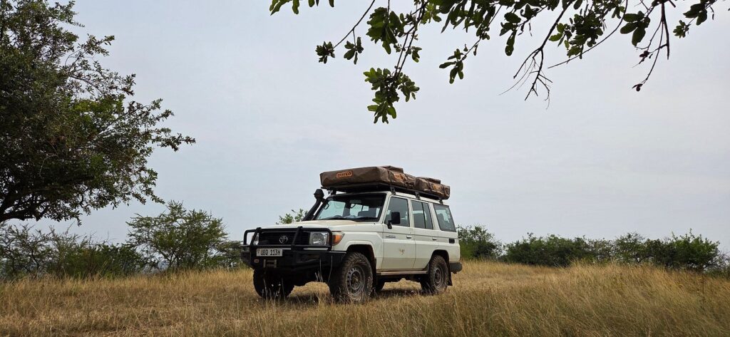
Driving to Katavi is possible and, for experienced overlanders, one of the most rewarding routes in East Africa — but it is a genuine expedition, not a shortcut. Expect two to three full days of driving, over 1,000 km of mixed tarmac and gravel, and long stretches with no fuel, phone signal or mechanical assistance. A robust 4×4 with high clearance, all-terrain tyres, extra fuel and a full recovery kit is non-negotiable.
Route 1: Dar es Salaam → Mbeya → Sumbawanga → Katavi
This is the most commonly used self-drive route and pairs well with a visit to Ruaha National Park on the way. From Dar es Salaam, tarmac carries you via Morogoro, Iringa and Mbeya — roughly 840 km of good sealed road. From Mbeya, the route continues through Sumbawanga toward the park, covering a further 550 km on a mix of tarmac (much of it upgraded along the Tanzam corridor in recent years) and gravel sections that can be badly corrugated or muddy after rain. Budget a minimum of two full driving days from Mbeya alone, and check locally for any road works around Sumbawanga before setting off.
Route 2: Dar es Salaam / Arusha → Tabora → Mpanda → Katavi
This route runs through central Tanzania via Tabora, then on to Mpanda, the nearest sizeable town to the park. From Mpanda it is a further 3–4 hour drive on rough dirt tracks to the park gate at Sitalike. Sections of this road near Mpanda have seen ongoing upgrades, but conditions still shift with the seasons, so treat any distance or time estimate as approximate and confirm the latest status with a local operator before departure.
Route 3: Kigoma → Uvinza → Mpanda → Katavi
Travelers combining Katavi with Mahale Mountains or Gombe Stream on Lake Tanganyika sometimes approach from Kigoma. The road is sealed as far as Uvinza, then reverts to dirt through forested limestone ridges down to Mpanda. Experienced overlanders have covered this stretch in around 8 hours in a capable 4×4, though allow considerably longer if you are new to unsealed driving in Tanzania.
| Fuel and Supplies Warning
Fuel stations thin out dramatically once you leave Mbeya, Sumbawanga, Tabora or Mpanda — fill up at every opportunity and carry jerry cans as backup. Carry a compressor, at least one full-size spare tyre (two is safer on gravel routes), a tow strap, and basic spares. Cash, pharmacies and mechanics are concentrated in the larger towns; the route between them offers little to no support. Download offline maps (Tracks4Africa or Maps.me) before you leave mobile coverage — network drops out for long stretches. |
Which Route Should You Choose?
Flying is the practical choice for most travelers, particularly those with limited time or those combining Katavi with Mahale Mountains for a western Tanzania fly-in circuit. Self-driving makes sense if you already have your own or a rented 4×4 in Tanzania, want to link Katavi with Ruaha and the southern circuit, are comfortable with multi-day off-grid travel, and have the extra days a road trip demands. Neither option is available year-round without caveats — always check current road and flight conditions with your camp or operator before finalizing dates.
Best Time to Travel for Easier Access
| Season | Months | Access Notes |
| Dry season | June – October | Best driving conditions; roads firm; peak wildlife viewing at shrinking water sources |
| Shoulder season | November, late May | Occasional rain; roads can deteriorate quickly — check locally before departure |
| Wet season | December – April | Many routes become difficult or impassable; some camps close; flying is strongly preferred |
Park Entry and Vehicle Fees
Tanzania National Parks Authority (TANAPA) charges park entry fees per 24-hour period, plus separate vehicle fees, and rates vary by nationality and age. Payment at the gate is card-only via a TANAPA Smart Card (obtained in advance through Exxim Bank or your operator) — cash is not accepted, so arrange your card well before arrival. Children under five enter free, and early entry or late exit is governed by strict TANAPA time rules, so plan your gate arrival accordingly.
Combining Katavi with Other Parks
Because getting to Katavi takes real effort, most itineraries link it with at least one neighboring destination. The most popular pairing is Katavi and Mahale Mountains National Park, connected by the same charter flight network and combined into 5–7 night western circuit safaris built around chimpanzee trekking on Lake Tanganyika. Self-drivers coming up from the south frequently pair Katavi with Ruaha National Park along the Mbeya route, while those approaching from Lake Tanganyika sometimes add Gombe Stream. Because camps in Katavi are few and small — often no more than a dozen guests at a time — book accommodation well ahead regardless of which route you take.
Practical Tips for Reaching Katavi
- Book flights or confirm your self-drive route months in advance — scheduled flights run only twice weekly and camps have very limited capacity.
- If self-driving, travel with at least one other vehicle if possible, given how little traffic and assistance exists along these routes.
- Carry printed or offline maps as a backup; do not rely solely on real-time GPS routing in remote sections.
- Confirm current road conditions with your camp, a local operator, or an overlanding forum shortly before departure — conditions on these routes change season to season.
- If flying, pack light and in soft bags to meet bush-plane luggage restrictions.
- Arrange your TANAPA Smart Card before you arrive at the gate, since cash is not accepted for park fees.
| Final Word
Katavi rewards the effort it takes to get there. Whether you touch down on the Ikuu airstrip after a scenic bush flight or roll in dust-covered after three days behind the wheel, you’ll arrive at one of the last truly uncrowded wildernesses left in East Africa. |